Context Demographics
Context Demographics provides U.S. Census and American Community Survey data projected onto Precisely polygons for a deeper understanding of the demographic makeup of specific geographic areas.
Congressional Districts
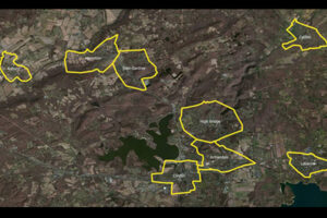
Congressional Districts depicts the physical extent and demographic profile of each district of the U.S. Congress. The dataset includes population estimates, contact information, and party affiliation for each current congressional representative at the time, along with previous congressional districts for historical comparison.
Community and Market Link
Community and Market Link products provide a flat text file of addresses associated with boundaries, created using location intelligence software to perform point-in-polygon operations. They enable quick and simple lookups to understand relationships between addresses and boundaries, offering insights into customer activity, school districts, and township administration, and can connect with other datasets using the PreciselyID unique address identifier.
Code-Point with Polygons
Code-Point with Polygons is a vector dataset providing detailed local addressing coverage in Great Britain, including the extent of each postcode unit.
BoundaryLine
BoundaryLine contains all levels of electoral and administrative boundaries for Great Britain, including districts, wards, civil parishes, and communities, as well as European, assembly, and parliamentary constituencies. It offers a compilation of 54 datasets detailing Great Britain’s administrative and voting boundaries.
ABS Boundary Pack
The ABS Boundary Pack provides a complete set of Australian geographic boundaries applicable to the Census of Population and Housing as well as other data from the Australian Bureau of Statistics.
GeoVision
GeoVision provides a nationwide representation of the built environment in Australia. It offers detailed building information including building height, roofing information, overhanging trees, solar panels, and swimming pools, with accuracy and detail for urban, regional, rural, and remote areas.
Airports
The Airports dataset provides precise delineation of public and private airport facilities, including terminals, hangars, maintenance buildings, runways, helipads, tarmacs, parking areas, and satellite lots, using authoritative sources such as the Federal Aviation Administration (FAA) and the National Flight Data Center (NFDC), with continual updates to ensure accuracy and currency.
ZIP Codes and Carrier Routes
The content describes multiple datasets related to USPS ZIP Codes, including Carrier Routes, ZIP Plus 4s, and ZIP Code Boundaries and Centroids. ZIP Plus 4s identify over 60 million deliverable USPS ZIP Plus 4s and correlate with U.S. census block data. ZIP Code Boundaries provide spatial demarcations and include centroids, while Carrier Routes represent areas served by USPS mail carriers, following roads for accuracy.
World Points of Interest – Premium – Consumer
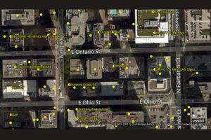
The World Points of Interest Premium Consumer dataset provides location and detailed company information for consumer-focused retail and service businesses, leisure, landmarks, and geographic features in more than 175 countries and territories. It includes a unique identifier, PreciselyID, for each addressable POI to streamline data management and enrichment.