Precisely Address Fabric

Address Fabric™

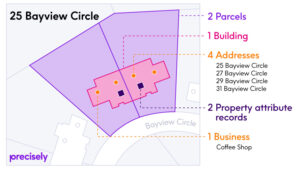
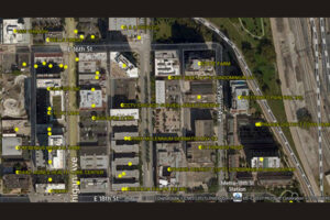
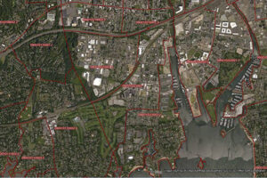
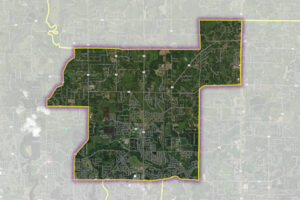
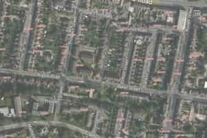
The Address Fabric™ data set is a current and comprehensive list of all known addresses in the United States, Canada, the United Kingdom, Australia, New Zealand and France. Each record is pre-geocoded with precise latitude and longitude, including non-deliverable physical locations, and is delivered in an easy-to-use flat file format for database and analytics integration. Records include street address, coordinate location, census information, property details, and parent/child relationships for primary and secondary addresses. Each record is assigned a unique PreciselyID for data management and enrichment with additional contextual information.
Dynamic Neighborhoods

Dynamic Neighborhoods

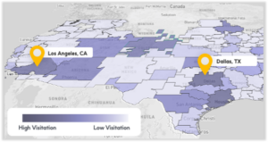
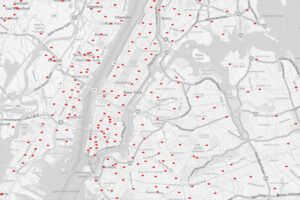
Dynamic Neighborhoods provides a powerful view of how populations move, gather, and engage across communities by combining rich visitation and demographic data. It reveals how busy neighborhoods are, how populations flow through them, and how these dynamics shift across different demographic cohorts and over time. The dataset is analysis-ready with pre-aggregated information at the U.S. census block group level and pre-calculated metrics on activity, dwell time, and location importance.

StreetPro™ Discover

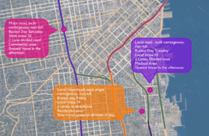
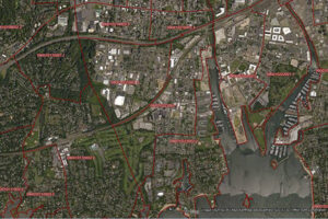
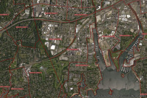
StreetPro™ Discover makes it easy to surface and understand street segment data.  Designed for AI, it transforms street segments into semantically rich, human-readable data objects, which enables you to ask LLMs questions like “Which streets in this suburb have high traffic exposure?” and immediately get the information you need.

Property Graph

Property Graph simplifies relationships between two or more Precisely data enrichment products, making it easy to join additional datasets for data enrichment and providing a connected view of properties that can be directly integrated with business processes. It is designed for use with Address Fabric, Parcel Boundaries, Buildings, Property Attributes, and Points of Interest.
Wildfire Risk

Wildfire Risk

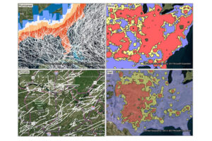
Wildfire Risk is a cutting-edge database that helps assess wildfire hazards and risks. It uses nationally recognized fire behavior methods to predict severity, including flame length, intensity, and ember generation. Inputs include fuel moisture, historic weather, topography, landscape mitigation, and other key factors. The model also factors in past fires, probability, fuel type, and community attributes like neighborhood vegetation, creating a realistic view of severity and vulnerability.
Market Link – Premium Locality Names and Postcodes

Market Link – Premium Locality Names and Postcodes

Market Link – Premium Locality Names and Postcodes is an enrichment and relationship file that enhances address and place data with comprehensive locality names and detailed attributes, relating postcodes to administrative boundaries and providing more complete postal rosters for better handling of non-geographic postcodes.

PSYTE™ Geodemographic Segmentation

PSYTE™ geodemographic segmentation data products provide an easy-to-understand classification of neighborhoods based on shared socioeconomic and lifestyle characteristics such as age, income, and education. They enable users to understand customers, discover new target markets, and personalize outreach with intuitive neighborhood segmentation based on hundreds of variables and simple labels like “Metropolitan Young Elite.” Precisely currently offers four PSYTE™ geodemographic data products: PSYTE™ US geodemographic data PSYTE™ Canada geodemographic data PSYTE™ UK geodemographic data PSYTE™ Australia geodemographic data
Calling Area Info represents the local calling plans available to business and residential customers.

CallingAreaInfo

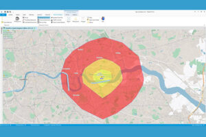
CallingAreaInfo represents the local calling plans available to business and residential customers when calling from or into a given location. It includes details on number plan areas (NPAs), the first three digits of the phone number after the area code (NXXs), and associated rates. It offers advanced data and geographic visualization capabilities to identify, analyze, and understand local calling plans and rate structures for specific geographic regions.
World Boundaries Premium provides comprehensive coverage of global administrative geographies combined with neighborhood, suburb, land use, and postal geographies.

World Boundaries Premium

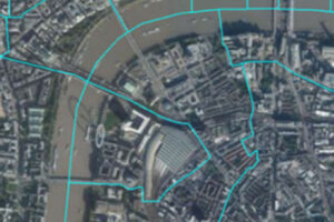
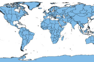
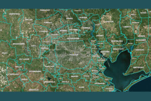
World Boundaries Premium provides comprehensive coverage of global administrative geographies combined with neighborhood, suburb, land use, and postal geographies. Administrative boundaries from multiple sources for over 200 countries and territories are aggregated in a single dataset, with a single file and table structure for ease of integration.

Place Intelligence Metrics Dataset

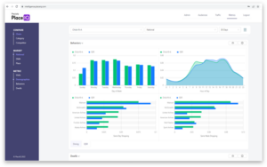
Place Intelligence Metrics is a comprehensive dataset providing location-based metrics for over 8 million points of interest, enabling custom analytic visualizations around visitation trends, consumer demographic attributes, cross-visitation behaviors, and trade area analysis for enhanced decision-making.
World View Map: Generate Isochrones and Isodistance Polygons

StreetPro Navigation Premium

StreetPro Navigation Premium enhances StreetPro Display by enabling precise and efficient route calculation between points on a road network, considering estimated travel speed and vehicle restrictions. It includes all features of StreetPro Display plus address, turn restrictions, and speed information, allowing various geographic and spatial functions not available with other online basemap providers. It features a single connected road network with average speed profiles for time of day and height, width, and weight restrictions. Scale 1:10,000
young woman enjoying her onboarding experience

Consumer Attributes

Gain a deeper understanding of your most important customers and prospects with Consumer Attributes, which include demographic attributes, socioeconomic attributes, 90 days of brand visitation, and mobile device type. It enables enriching first-party data with real-world attributes using the Firehose Visits Dataset.
Location-based data helps retailers improve merchandising by understanding location population demographics

Audiences Direct

Audiences Direct is a dataset based on the same data used to create Precisely PlaceIQ Audiences, available for the entire set of syndicated audiences or specific audiences of interest. It allows organizations to mesh Precisely PlaceIQ audience data with their own first-party data to build unique segments for advertisers.
Why Analytics Is Important for Retail Site Selection

Firehose Visits Dataset

Firehose Visits delivers visitation data for all brands within Precisely PlaceIQ’s full taxonomy, spanning retail, dining, auto, travel, financial services, and more. It includes time-stamped visitation, individual brand location, designated market area (DMA), zip code, state, time zone, and metadata about the place visited. It helps enrich first-party data with real-world attributes to build audience profiles and activate digital campaigns.

Place Intelligence Metrics Dashboard

Consumer intelligence tool providing insights into how consumers visit your locations and competitors’ locations, featuring packaged foot traffic analytics and a turn-key analytics dashboard for informed decision-making in marketing, product, and staffing.

Place Visit Stream Direct

Easily measure and enhance the performance of marketing campaigns using foot traffic pattern data to quantify campaign effects and optimize them as needed. It allows attribution of real-world impact of ad spend across platforms, daily measurement of foot traffic at locations, and campaign optimization for visits, not clicks.

Auto Dealers

The Auto Dealers dataset provides precise delineation of automotive dealership boundaries, including developed areas for vehicle display, sales and service operations, and overflow lots, along with the primary building footprints for significant structures. Covering both franchise (new car) and independent (used car) dealerships.
World Postcode and Administrative Boundaries provides comprehensive coverage of global administrative and postcode boundaries.

World Postcode and Administrative Boundaries

World Postcode and Administrative Boundaries provides comprehensive coverage of global administrative and postcode boundaries, offering six administrative levels for analysis specific to each country, such as township or city boundaries. It includes administrative hierarchy and alternate postal names for the U.S. and Australia, aggregating worldwide postal and administrative boundaries into a single product with a consistent, single table structure format for ease of use.
US Census Data - Map out census block, block group & tract data

Census Boundary Bundle – US

Census Boundary Bundle – US provides a visual backdrop for demographic and other business analysis in the United States. It can be purchased as a complete bundle that includes all seven layers, or as individual layer datasets.
World Time Zone Boundaries - World time zones map in hours from UTC

World Time Zone Boundaries

World Time Zone Boundaries provides spatial representation of the world’s lands and waters by time zone, showing each time zone’s deviation in hours from Coordinated Universal Time (UTC) and Daylight Saving Time (DST). Each time zone is divided by country (or parts of countries) and associated with the start and end dates/times of daylight saving time.
Australia Suburbs and Localities Boundaries for Mapping & Analysis

Suburbs and Localities Australia

Suburbs and Localities Australia provides authoritative geographic demarcations of gazetted suburb boundaries and non-gazetted locality boundaries in a single table format, with over 15,000 suburb and locality boundaries, key for mapping and linking business data for geographic analysis.
Precisely's School Boundaries dataset includes U.S. school boundaries map, school points, school attendance zones and school district data

School Boundaries

School Boundaries provides three layers of geographic information, including school points, school districts, and school attendance zones, for more than 10,000 school districts in the United States. Additional attribute tables accommodate the complexities and variations of school data from state to state and region to region for further analysis.
Desktop and Enterprise Routing Networks - Precisely

Desktop and Enterprise Routing Networks

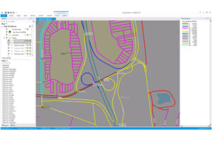
Desktop and Enterprise Routing Networks provide compiled street networks for use with mapping and routing software, compatible with Precisely’s MapInfo Pro and Spectrum software, powering analytics at both desktop and enterprise levels.
Residential Boundaries data for neighborhood mapping & location details

Residential Boundaries

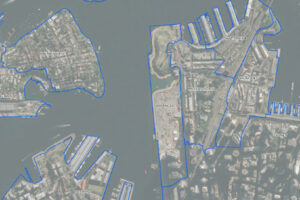
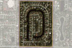
Residential Boundaries provides geographic boundaries, names, and other locational classifications that define the extent and character of residential neighborhoods. Each polygon covers geography that consists of at least 90% residential housing, including homes, condos, and apartment complexes. The acquisition system ensures the most current information is used to define and name a residential area.