RateCenterInfo – Telco rate center map for U.S & Canada

RateCenterInfo

RateCenterInfo provides geographic information about rate centers throughout the United States and Canada, including boundaries and specific information about NPAs and NXXs operating within each rate center. It is used by competitive local exchange carriers (CLECs), cable telephony operators, internet service providers (ISPs), and wireless carriers for determining areas of operation and number assignments.
Property Fire Risk Assessment Leveraging Fire Department Proximity Data

Property Fire Risk

Property Fire Risk is a compilation of fire departments and fire stations across the United States featuring proximity measurements and drive times from each physical address. It provides detailed information for over 47,000 fire departments and stations, including location, contact details, county name, type of department, number of associated stations, station number, and daypart specific drive time and distance for the three nearest responding stations within 25 miles.
PostPoint Professional provides full UK postcode coverage (Great Britain & Northern Ireland postcodes) and British National Grid references

PostPoint Professional

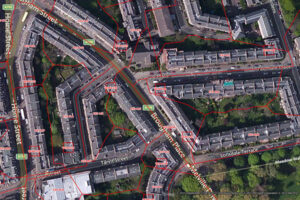
PostPoint Professional provides full postcode coverage and British National Grid references for the United Kingdom, with accuracy to within one meter of a property near the centre of the postcode, including an indicator of each point’s precision.
Precisely Boundaries GIS datasets - World, Postcode, Risk, Telco & Communities

Postcode Boundaries Australia

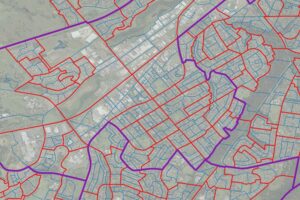
Postcode Boundaries Australia provides a geographic representation of postcode boundaries for the entire country, built in a nationwide parent-child hierarchy from suburb and locality boundaries, with no gaps or overlaps.
US Municipal Boundaries: Up-to-date municipal analytics data

US Municipal Boundaries

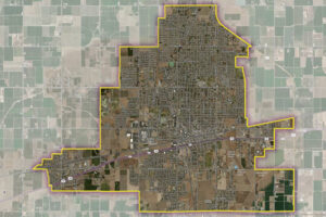
US Municipal Boundaries contains up-to-date information on the boundaries of incorporated municipalities, updated quarterly to include new incorporations, annexations, de-annexations, mergers, consolidations, dis-incorporations, and/or dissolution of local governmental entities.
US Parcel Boundaries - Map and analyze property characteristics

Parcel Boundaries

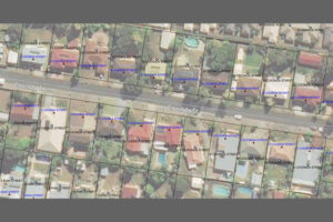
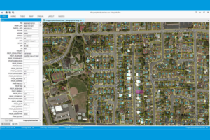
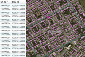
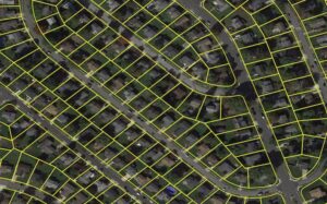
Parcel boundary data helps users map and analyze property characteristics across an area of interest, or conduct sophisticated spatial analysis such as proximity, overlay, and buffer zone operations. It contains polygonal property outlines and features like PreciselyID and Assessor Parcel Numbers for interoperability with property attributes, building footprints, U.S. Census Bureau data, and address genealogy. It is part of the property data enrichment products that work with Property Graph and is available via Data Graph API.
Precisely's Neighborhood Boundaries dataset provides neighborhood mapping, population data & demographics for metro areas in 83+ countries

Neighborhood Boundaries

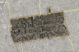
Neighborhood Boundaries identifies and names neighborhoods as experienced by local residents, providing data on population, demographics, culture, and other attributes, along with a hierarchy of precisely validated names and boundaries.
Precisely's Metro Areas dataset represents over 1,000 of the largest metro areas in the world, including the fastest growing metro areas

Metro Areas

Metro Areas represents over 1,000 major metropolitan areas around the world, including top real estate markets. These areas incorporate satellite cities, towns, and rural areas that are socioeconomically linked to an urban core, typically with a population greater than 50,000 and a density of at least 1,000 people per square mile.
LATAInfo - Comprehensive U.S. LATA map database from Precisely

LATAInfo

LATAInfo is a map database of Local Access Transport Areas (LATAs) across the United States, used to determine whether a telephone call is carried by a local exchange carrier or a long-distance provider. Each LATA generally contains a single major metropolitan area, with calls within a LATA routed by Local Exchange Carriers (LECs) and calls between different LATAs transported by long-distance carriers.
Dynamic Weather – API-enabled real time and historical weather data

Dynamic Weather

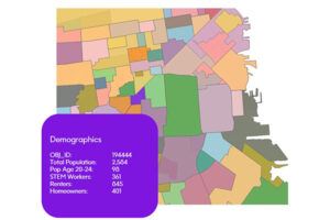
Dynamic Neighborhoods provides a powerful view of how populations move, gather, and engage across communities by combining rich visitation and demographic data. It reveals how busy neighborhoods are, how populations flow through them, and how these dynamics shift across different demographic cohorts and over time. The dataset is analysis-ready with pre-aggregated information at the U.S. census block group level and pre-calculated metrics on activity, dwell time, and location importance.
Geocoded National Address File (G-NAF) Premium Address Points provides comprehensive, consistent location-enabled address data for Australia.

Premium Address Points

Premium Address Points provides comprehensive, easy-to-use, and nationally consistent location-enabled address data for Australia. It includes a complete data structure and a simplified data model for mapping, analytics, and routing, with enhanced geocoding options and linkages to land parcels, postcodes, localities, and statistical boundaries.
Property Attributes - US property assessment data & historical sales data

Property Attributes

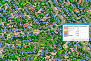
Property Attributes products provide deep insights about a location, offering comprehensive information about property characteristics using data from local tax authorities, Recorder of Deeds, mortgage transactions, and real estate listing services. Coverage includes over 3,140 US counties, with details such as owner and address information, physical property and location data, seller and buyer information (select products), legal description, property site characteristics, internal and external building characteristics, property tax and sale information, mortgage information (select products), and replacement cost value.
Canada Census Data - Map out Canada census tract and division data

Census Boundary Bundle – Canada

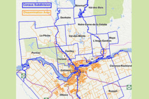
Census Boundary Bundle – Canada represents complete hierarchies of political and census boundaries for Canada. The standard version is updated every 5 years following the new Canada census, while the enhanced version is updated quarterly and includes selected large water features and more detailed shorelines.
Consumer Spending Potential: National Statistics Data Across Multiple Categories

Consumer Spend Potential

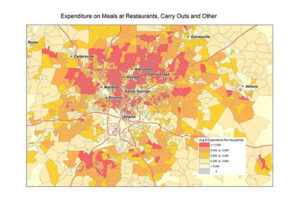
Consumer Spend Potential provides consumer spending data across a broad range of categories. Annual expenditures are calculated using the ratio between disposable income, demographics, and expenditures for products and services derived from household budget surveys from national statistical offices.
Precisely's Core Based Statistical Areas (CBSAs) dataset provides the geographic boundaries and point information for 900+ statistical areas

Core Based Statistical Areas (CBSA)

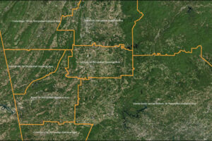
Core Based Statistical Areas (CBSAs) provides the geographic boundaries and point information for more than 900 statistical regions defined by the U.S. Office of Management and Budget, representing highly populated core areas and adjacent communities with high economic and social integration.
AreaCodeInfo - Canada and US area code map of landline boundaries

AreaCodeInfo

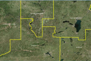
AreaCodeInfo represents delineated boundaries for landline telecommunications across the U.S. and Canada, covering 353 area codes with regular updates for accuracy.
Precisely Historical Weather Risk contains comprehensive, historical weather data of hazardous events -- hurricane, hail, tornado & windstorms

Historical Weather Risk

Historical Weather Risk contains comprehensive historical records of hazardous weather data including hurricane, hail, tornado, and windstorm events, with details on date, severity, and additional attribution like magnitudes, fatalities, injuries, crop/property damages, and meteorological details. Wind events use the Beaufort Wind scale, tornadoes use the Fujita-Pearson scale, hail events use the TORRO intensity scale, and hurricane events reference the Saffir-Simpson scale.
Global Gfk CRESTA Zones for Mapping Insurance Risk

GfK Cresta Zones

Catastrophic Risk Evaluating and Standardizing Target Accumulations (CRESTA) Zones are critical for reinsurance companies when negotiating and conducting an extensive portfolio analysis. These global CRESTA boundaries are widely accepted as standard throughout the insurance industry.
Flood Risk from Precisely - FEMA flood risk map & flood zone data

Flood Risk

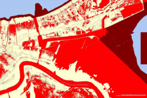
Flood Risk provides the most current flood mapping data from the Federal Emergency Management Agency (FEMA), including flood zone information, a database of community participation status in the National Flood Insurance Program (NFIP), elevation profiles, and proximity measurements to varying levels of flood risk.
Earth Risk from Precisely - U.S. earthquake risk map, landslide risk & more

Earth Risk

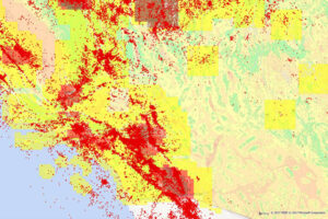
Earth Risk provides nationwide coverage of land-related risks including earthquakes, landslides, lava flows, sinkholes, and hazardous soils to help stakeholders understand risk by geography. Data layers are sourced from USGS, NEIC, Earthquake Hazards Program, and AMLIS.
Coastal Risk - Hurricane risk map and shoreline flooding risk assessment

Coastal Risk

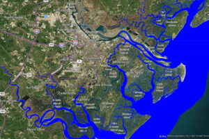
Coastal Risk contains information pertinent to shorelines and coastal areas subject to hurricanes, storm surge, flooding, and other natural disasters. It depicts the shape of the shoreline, name of the coastal water, and proximity to the nearest coastline.
Canada Postal Codes: Canada FSA Maps and 6-Digit Dataset Bundle

FSA and 6-Digit Postal Codes

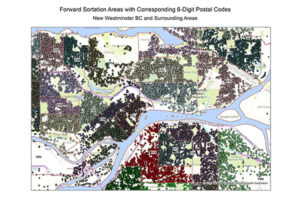
FSA and 6-Digit Postal Codes are available separately or in a bundle. The FSA file contains polygon boundary files and centroids for Canada’s Forward Sortation Areas (FSAs). The 6-Digit Postal Codes file contains over 800,000 postal records and over 4,000 new postal codes, including latitude and longitude coordinates and a single “most representative point” for each postal code in Canada.
Francièmes Boundaries include cantons, communes, IRIS & postaux

Francièmes Boundaries

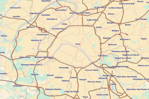
Francièmes Boundaries is a valuable complement to Neighborhood, Residential, and other boundary datasets to help visualise where census polygons overlap with other boundaries in France. Boundary layers include Cantons, Communes, IRIS, and Postaux.
Precisely's Designated Market Areas dataset includes Nielsen DMA maps of boundaries and Nielsen DMA codes for all 50 U.S. states

Designated Market Areas (DMA®)

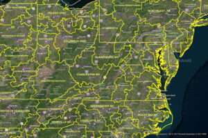
Designated Market Area (DMA®) definitions are licensed from Nielsen and delineate the geographic boundaries of over 200 distinctive regions to assess TV penetration of audience counts within the U.S. for a viewership year. DMA® is a registered service mark of the Nielsen company. Used under License. The DMA® code is created using Nielsen’s assignment of a 3-digit number for identification and processing purposes.