
How Location Data Facilitates Faster COVID-19 Response

The use of location data has exploded in recent years. Government entities, including most local governments, have made extensive use of Geographic Information Systems (GIS) data to map addresses for emergency services, transportation planning, property tax records, and much more. For years, social service agencies have been using location data to better understand where vulnerable […]
Location Intelligence in the Era of COVID-19 – Map Resources
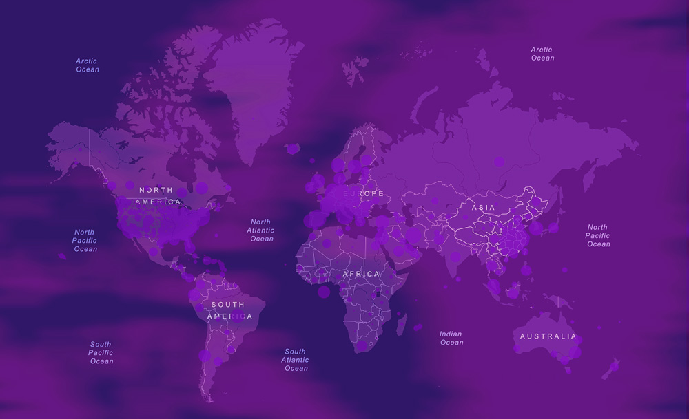
Mapping technology and the insights derived from location intelligence are helping to alert and allay fears during this time of the coronavirus. Maps are helping to inform the public about the proximity and spread of COVID-19 without prejudice and hype. Location intelligence and mapping tools are also being used to provide insight into where future […]
The Wonderful World of POI Data

Points of Interest (POI) are being applied to address so many problems it’s hard to keep track of them all. I feel like I learn of a new use case every time I meet clients – surprising things we’ve never thought about. Site selection, or deciding where to put a store or facility, is one […]