Precisely Advances Agentic-Ready Data with a New AI Agent, Data Product Marketplace, and MCP-Enabled APIs Read press release
Build solutions faster with Precisely APIs, pre-linked data, and MCPStart free trial
Privacy Notice Updates: We’ve updated our Privacy Notices to reflect changes to our services, new legal requirements, and the types of personal data we collect. Learn more
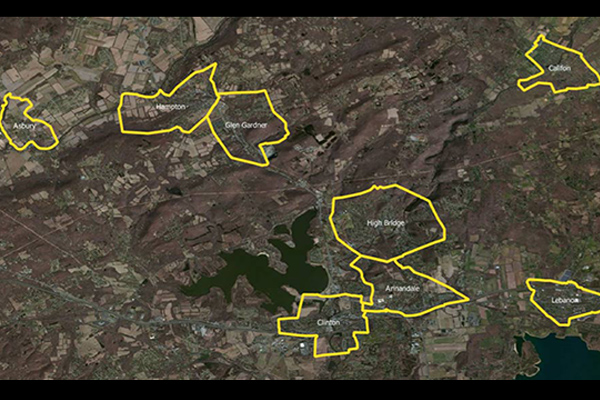
US Municipal Boundaries contains up-to-date information on the boundaries of incorporated municipalities, updated quarterly to include new incorporations, annexations, de-annexations, mergers, consolidations, dis-incorporations, and/or dissolution of local governmental entities.
Coverage
United States
Product Family
Boundaries
Usage
Use US Municipal Boundaries to:
Properly calculate tax rates by jurisdiction
Calculate premium taxes for most states
Visually analyze and track high risk areas
Assign sales tax for mobile services
Determine applicable municipal ordinances
Save time and resources by targeting specific municipalities