Precisely fait progresser les données « Agentic-Ready » avec un nouvel agent IA, une data product marketplace et des API compatibles MCP Lire le communiqué
Mises à jour des avis de confidentialité: nous avons mis à jour nos avis de confidentialité afin de refléter les évolutions de nos services, les nouvelles obligations légales applicables et les types de données à caractère personnel que nous collectons. En savoir plus
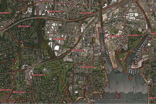
World Postcode and Administrative Boundaries provides comprehensive coverage of global administrative and postcode boundaries, offering six administrative levels for analysis specific to each country, such as township or city boundaries. It includes administrative hierarchy and alternate postal names for the U.S. and Australia, aggregating worldwide postal and administrative boundaries into a single product with a consistent, single table structure format for ease of use.
Coverage
Australia
Canada
France
Global
Japan
New Zealand
United Kingdom
United States
Product Family
Boundaries
Usage
Using World Postcode and Administrative Boundaries helps:
Retail: Locate customers and analyze consumer expenditures
Marketing: Define sales territories and track consumer expenditures