Precisely fait progresser les données « Agentic-Ready » avec un nouvel agent IA, une data product marketplace et des API compatibles MCP Lire le communiqué
Mises à jour des avis de confidentialité: nous avons mis à jour nos avis de confidentialité afin de refléter les évolutions de nos services, les nouvelles obligations légales applicables et les types de données à caractère personnel que nous collectons. En savoir plus
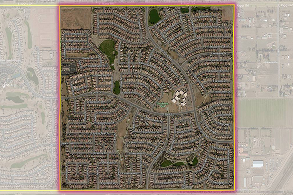
Neighborhood Boundaries identifies and names neighborhoods as experienced by local residents, providing data on population, demographics, culture, and other attributes, along with a hierarchy of precisely validated names and boundaries.
Coverage
Australia
Canada
France
Global
Japan
New Zealand
United Kingdom
United States
Product Family
Boundaries
Usage
Neighborhood Boundaries enhances:
Online search – Restrict results to a specific neighborhood
Direct marketing – Create hyper-local campaigns
Social media – Refine searches to a more precise and socially relevant location
Home valuation – Identify comparable home or apartment values for real estate, financial, and insurance markets