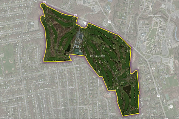
The Hospitals dataset provides precise polygonal boundaries for general care hospitals with 24-hour emergency services and specialty facilities such as VA and cancer centres across the United States. Each boundary captures the primary hospital campus, including the main building, patient and visitor parking, and, where appropriate, satellite facilities like clinics and administrative offices.
Coverage
United States
Product Family
Places
Usage
Use Hospitals to:
Highlight real estate proximity to hospitals and medical facilities — a key factor for homebuyers and businesses
Support emergency planning with hospital boundaries for resource management and disaster modeling
Enable real-time crisis communication and precision-targeted marketing via hospital geofencing