
World Boundaries Premium
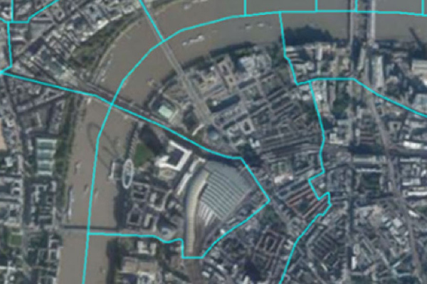
- World Boundaries Premium provides comprehensive coverage of global administrative geographies combined with neighborhood, suburb, land use, and postal geographies. Administrative boundaries from multiple sources for over 200 countries and territories are aggregated in a single dataset, with a single file and table structure for ease of integration.
Coverage
- Australia
- Canada
- France
- Global
- Japan
- New Zealand
- United Kingdom
- United States
Product Family
- Boundaries
Usage
- Attach location to customer records and activity
- support social media check-ins
- geocode for display purposes and location-based target marketing
- create geofences for location-based messaging
- enrich other datasets with boundary context
- provide a link between different data assets
- measure and benchmark scenarios across different geographic areas
Details
The product contains two versions. The geo-tagged version provides all boundaries as one flat boundary file where each polygon represents a unique set of administrative values to the most granular level. The display version provides separate layers for each administrative level.
The World Boundaries Premium product contains object layers and additional tables for:
- Disputed territories
- Land use
- Postal codes
Levels for any given country can include:
- Country
- State or equivalent
- Subdivision such as county, district, or province
- Towns or municipalities
- Localities and urban areas
- Neighborhoods
Features:
- Administrative, locality, and neighborhood boundaries capture the political/administrative hierarchy in the most consistent way possible to deliver a relevant place name for any location in the world
- Display version contains all boundaries fully intact and can be displayed as separate layers, including objects at each available admin level
- Geo-tagged version presents data in a flattened version containing only the smallest available geometry for a location
- Allows for six data levels to represent the regions and sub-regions that vary from country to country, and ensure the greatest possible consistency across the dataset
- Provides disputed borders as a separate layer to enable companies with international customers and interests to represent a diplomatically neutral portrayal of these areas
- Includes both an English name and an alternate name with language code for that alternate name to support local audiences
- References full or partial postal codes for nearly 40 individual countries
- Allows users to understand a customer’s location information in reference to familiar land use areas such as airports, hospitals, schools, and golf courses
Specifications
- Update Frequency
- Quarterly
- Coverage
- Global
- Unit of Sale
- Global